
This is a random collection of maps – old, new, space view, the only road map – to browse through. For more earnest treatises on the historic mapping of Abaco, check out
MAPPING ABACO: SAMUEL THORNTON 1702
ABACO & HOLE-IN-THE-WALL: A SHORT HISTORY IN MAPS
SHIPS, MAPS AND HOLE-IN-THE-WALL
MAPPING ABACO: JOURNEY BACK THE THE C18
MAPPING ABACO & FLORIDA: MALLET IN THE C17
ABACO FROM SPACE

COOL CAYS MAP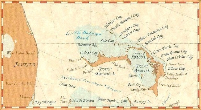
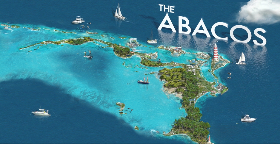
STYLISED AERIAL VIEW
ESSENTIAL ABACO ROAD MAP
For the best… indeed the only… Road Map of Abaco CLICK===>>> ABACO MAP REVIEW
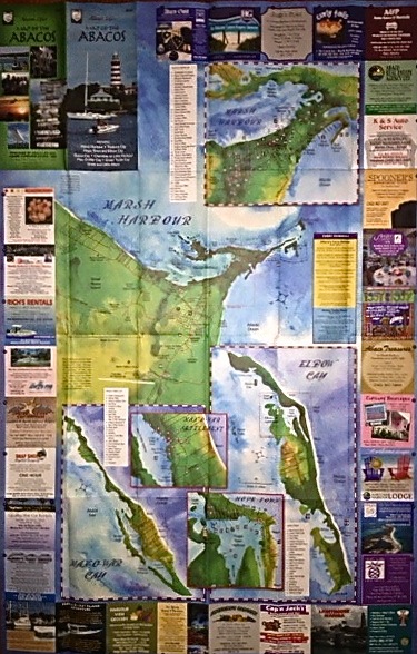
UPDATE FEB 2013 I have managed to get hold of a brand new map from Jim Kerr at ABACO LIFE to replace our much used, much lent and frankly slightly past it copy. I gather a brand new edition is in the pipeline. Here are some snaps of my new map, to give you an idea just how useful it is. For more details and information, click the link above to my earlier review. NOTE the price remains an almost unbelievable $3.00


![]()
NASA / ISSS SATELLITE VIEW
![]()
![]()
ENLARGEABLE MAPS
MAP 1: HISTORIC MAP The main interest of the first map is that very few maps actually mark Rolling Harbour itself (FACTOID: the bay was actually named after this blog). Click on the map and it will enlarge a bit, click a second time and you get a much larger (yet still legible) size
The least interesting fact is that Gorda Cay (off main island to the south west) is now the world-renowned Disney Island or some such. There’s a huge ship moored there too, in perpetuity. I have not dignified the place with a web link – the entire concept is grumpy-making, and if you want to go there please research it for yourself…

MAP 2: NAUTICAL MAP This is an interesting piece of mapping of the immediate area around Delphi. For a start, it names Rolling Harbour and much else around it. I hadn’t known about Conch Shell Bay at the north end of the beach before. The mangrove / bonefishing area at Crossing Rocks is clearly shown, as is the outer range limit of Hole-in-the-Wall lighthouse – a surprising distance. And a good question is raised by the islet off Crossing Rocks: ‘What’s the point of Spit?’ Credit Googlemaps (oh please don’t sue me for using this little scrap of map for purely non-commercial illustrative purposes, I know that you and Mr Murdoch rule the world between you (STOP PRESS…or he used to), I promise I will remove it at once if you insist)
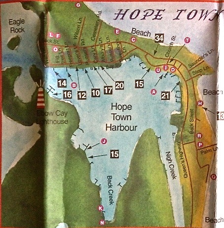
MAP 3: W. JOHNSON’S MAP (2000) This is a very nice hand-coloured map, copies of which are available on Abaco. The one below is a shot of the one in the Delphi Club office. There are a number of features that make this a most attractive map – the colouring, the attention to detail, and the overall composition making it as much an artwork as a map.")
MAP 4: RANDOM MAP (added Oct 2012) This map in one of a number of unattributed maps floating around the ether, so its inclusion is also a thank-you to the unknown originator. I like it for its simplicity and clarity despite the amount of detail shown. 
MAP 4: FROMMERS MAP (added Jan 2012) This is an Abaco map download encouraged by Frommers online. I hope they won’t my passing it on in a non-commercial spirit. It’s all free publicity after all. The map is pretty basic but differs from others in showing main scuba areas and one shipwreck site (there are others, I am sure, but maybe their whereabouts are kept secret). It is somewhat misleading in suggesting that the journeys to Hole-in-the-Wall and Cross Harbour are continuations of the excellent highway. Do not be tempted. Or not without first visiting “TO THE LIGHTHOUSE”

NATIONAL PARKS MAP by Friends of the Environment (see link on SIDEBAR)
![]()
Here is an interesting map of South Abaco from Parrots International (see sidebar for direct link). It was prepared for use during research a while ago into predation of Abaco Parrot nesting sites.
![]()
ABACO’S DISTRICTS

![]()
HISTORIC MAP DATED 1683 by MALLET
Here is a (hand-)coloured version of the same map
I found an original of the top B&W map at a fair price online. Then I reflected on its relatively limited practicality for getting around these days, and thought better of the project. The one below, sliced from a more modern early c20 atlas, would be more useful. It was designed to show the lighthouses that then existed (red dots). Elbow Cay, yes. But not yet Hole-in-the-Wall, though the place is marked.
